
via Instagram https://www.instagram.com/p/BftnTJ7BUSW/


#GIS #Sticker reduced to $6.50. Pick yours up today.
bit.ly/redearth_gissticker #esri #geo #geography #geospatial #arcgis #qgis #map #cartography #gisp
#GIS #Sticker reduced to $6.50. Pick yours up today.
bit.ly/redearth_gissticker #esri #geo #geography #geospatial #arcgis #qgis #map #cartography #gisp
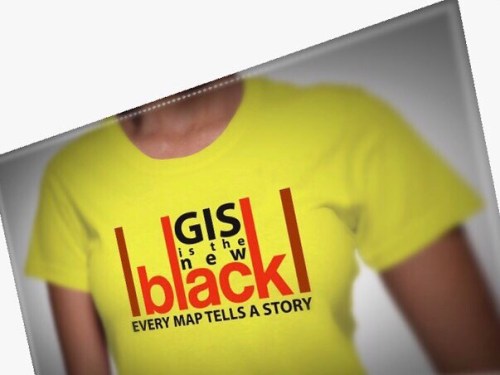
#GIS Is The New Black! Every #Map Tells a Story. What’s your story all about? It’s time to drop some prices on our best selling #Geo T-Shirts! For only $17.99 you can pick yours up on Amazon:
http://www.amazon.com/dp/B07974BZVP?customId=B07537H63D&th=1 @redearthgeo #geography #esriuc #esri #qgis #intergraph #hexagon #fme #arcgis #arcgispro
#drone vs #nodrone @redearthgeo
3 steps to create an #Open #Data site with #ArcGIS
http://bit.ly/2lrmglM #esri #map #gis #geography #public #spatial #redearthgeoUsing ArcGIS Open Data, it’s easy to create a publicly accessible site where data can be shared with the public in a variety of formats. http://bit.ly/2lrmglM
3 steps to create an #Open #Data site with #ArcGIS
http://bit.ly/2lrmglM #esri #map #gis #geography #public #spatial
#STARS #Air #Ambulance Enhances #Public #Safety with #ArcGIS
http://bit.ly/2mgvnqn #esri #gis #map #redearthDiscover how Shock Trauma Air Rescue Service (STARS) enhanced operations at its Emergency Link Centre with Esri’s ArcGIS technology. STARS developed a dynami… http://bit.ly/2mgvnqn
3 ways to make fields ‘mandatory’ in #ArcMap
http://bit.ly/2miwmFN #esri #arcgis #data #fields #gis #map #geography #cartography #redearthgeoThis blog covers three options in ArcMap to remind your editors to fill in fields, preventing editing errors right at the source! http://bit.ly/2miwmFN
3 ways to make fields ‘mandatory’ in #ArcMap
http://bit.ly/2miwmFN #esri #arcgis #data #fields #gis #map #geography #cartography
SimActive Used for #Coastal #Erosion Assessment with #UAVs
http://bit.ly/2lXbtzQ #gis #uav #drone #geography #map
SimActive Used for #Coastal #Erosion Assessment with #UAVs
http://bit.ly/2lXbtzQ #gis #uav #drone #geography #map #redearthgeoUniversiti Teknologi Malaysia (UTM) has chosen Correlator3D™ for its unmanned aerial vehicle (UAV) research http://bit.ly/2lXbtzQ
Canadian #Spatial #Data #Collections for #gis users.
#open #opendata #map #cartography http://bit.ly/2kX09ac


